Cherry Orchard, Dublin
1 Commercial Properties to Rent in Cherry Orchard, Dublin
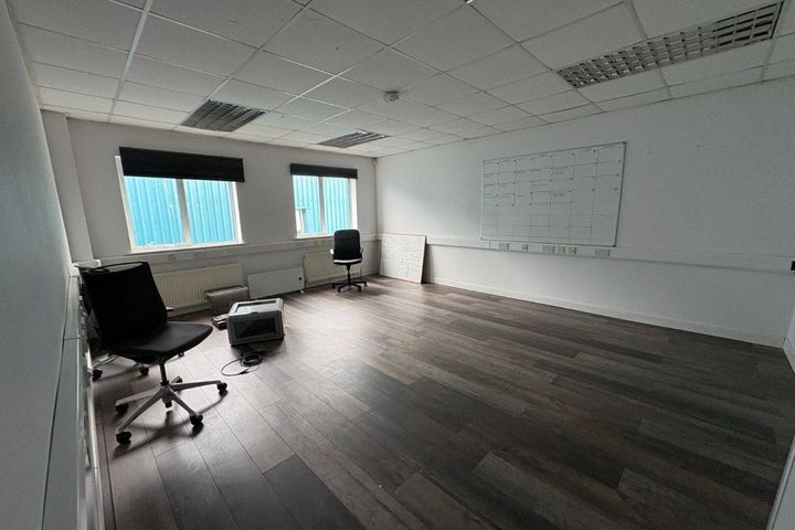
R.A.I.D., Unit 56, Park West Enterprise Centre, Lavery Avenue, Park West Industrial Park, Dublin 12, Park West, Dublin 12
164 m²Office Space
Didn't find what you were looking for?
Expand your search: