32 Commercial Properties for Sale in Dublin 8, Dublin
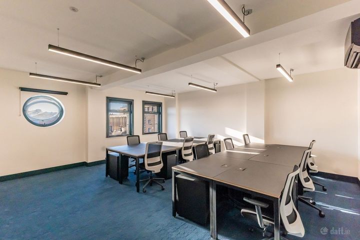
The Masonry, Thomas Street, Dublin 8
37 m²Office SpaceMarketing Department
VR Property Management Limited
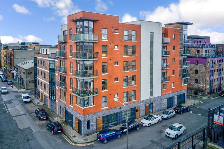
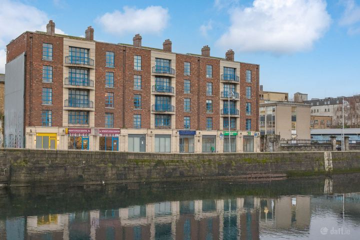
Liberty View, Long's Place, Dublin 8, St. James Gate, Dublin 8, D08ND90
498 m²Investment PropertySean O'Donoghue
Bespoke Estate Agents
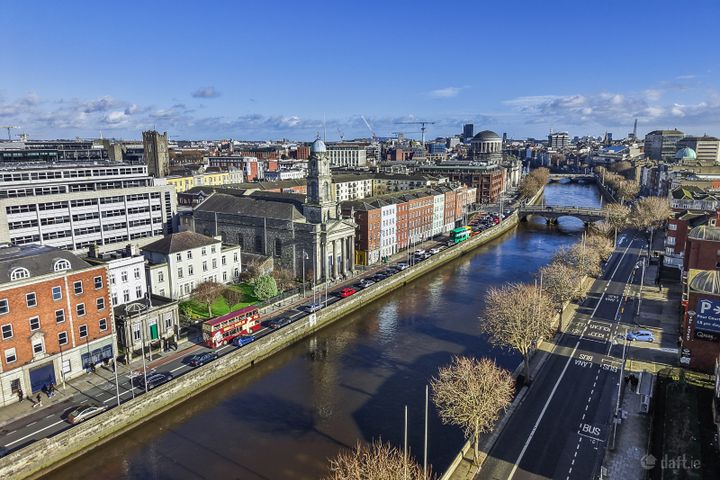
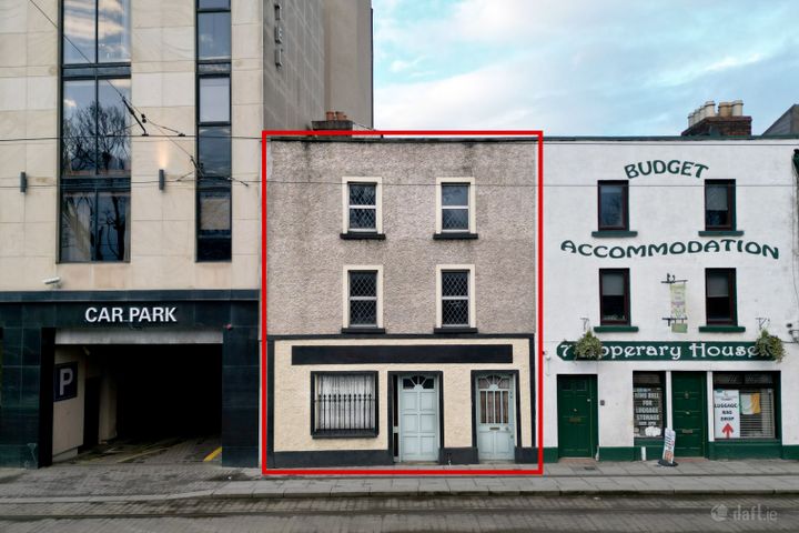
24/25 Arran Quay, Dublin 7, Smithfield, Dublin 7, D07W620
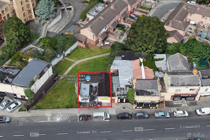
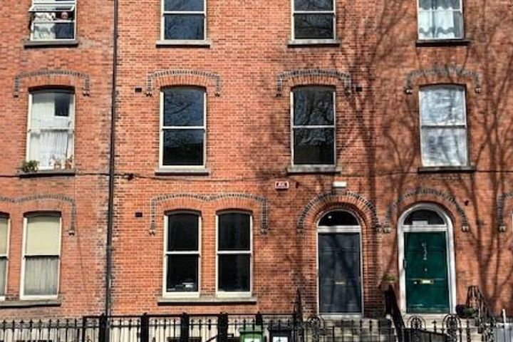
514 m²Investment Property99 Emmet Road, Inchicore, Dublin 8, D08WV83
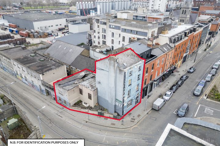
0.03 acDevelopment LandUnit 2 Castlegate, Lord Edward Street, Dublin 2
Office Space44 Harrington Street, Portobello, Dublin 8, D08TK83
295 m²Investment Property5 Ushers Island, Pier 19, Dublin 8
83 m²Office SpaceUnit 1, Ardee Court, The Coombe, Dublin 8, D08H365
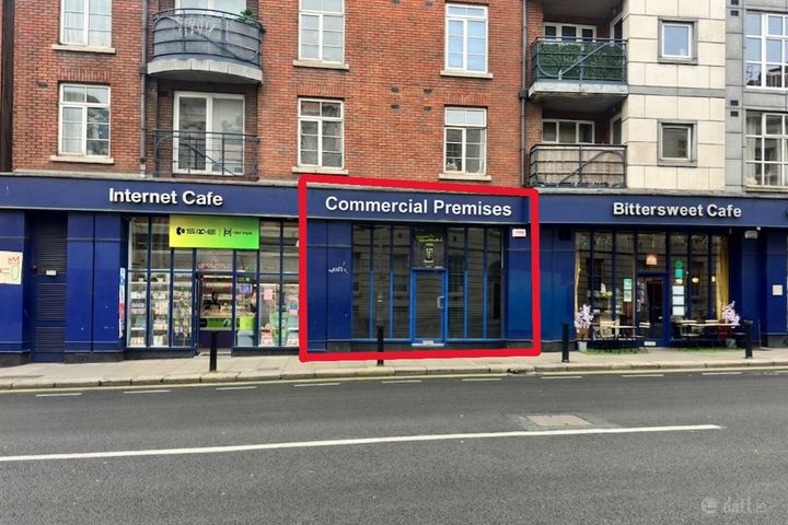
49 m²Retail UnitFully FittedTBA, Dublin 8
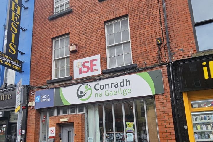
50 m²Restaurant / Bar / Hotel66 Camden Street Lower, Dublin 2, Portobello, Dublin 8, D02X201
0.01 acDevelopment Land66 Camden Street Lower, Dublin 2, Portobello, Dublin 8, D02X201
445 m²Retail Unit23 Richmond Street South, Portobello, Dublin 8, D02W657
479 m²Investment PropertyDublin 8, Kilmainham, Dublin 8, D08A9DT
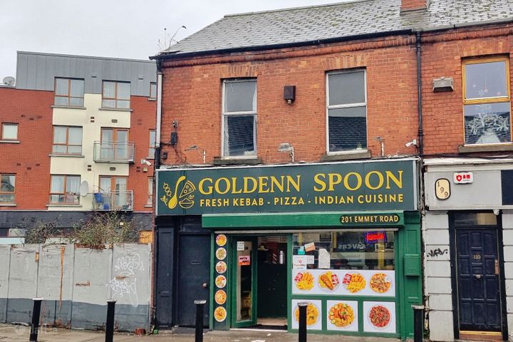
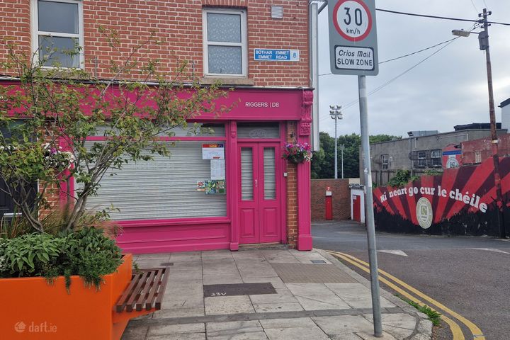
80 m²Restaurant / Bar / Hotel201 Emmet Road, Inchicore, Dublin 8, D08XD50
119 m²Investment Property8 Parkgate Street, Dublin 8, D08K8P5
213 m²Investment Property3 Grantham Place, Portobello, Dublin 8, D08A472
107 m²Investment Property31 Old Kilmainham, Kilmainham, Dublin 8, D08V062
235 m²Office SpaceThe Jam Factory, West End House, Dublin 8, D08YV6H
485 m²Investment Property145 Emmet Road, Dublin 8, D08AY63
150 m²Restaurant / Bar / HotelGoing Concern40 Harrington Street, Dublin 8, D08EV88
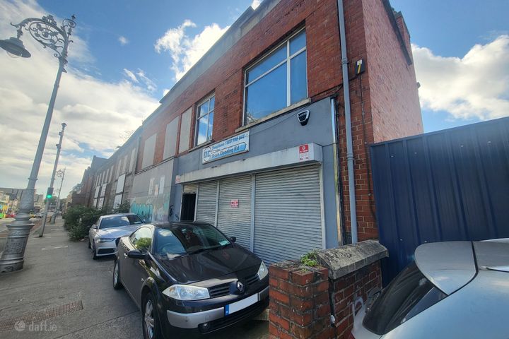
258 m²Investment Property13A & 13B Conyngham Road, Dublin 8
231 m²Retail Unit