Dublin 4, Dublin
4 Development Land for Sale in Dublin 4, Dublin
Hillview House, Sandymount, Dublin 4
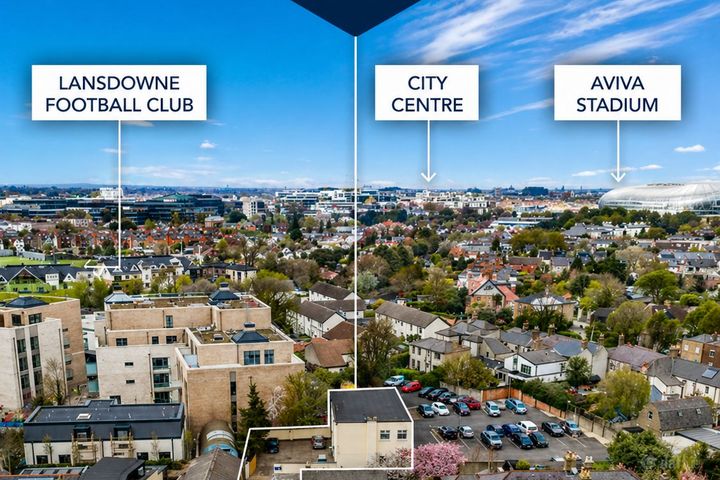
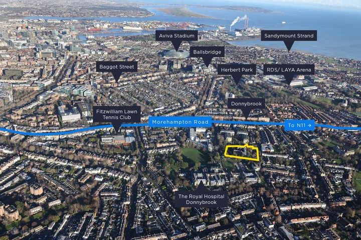
0.19 acDevelopment LandSt. Mary's, Donnybrook, Bloomfield Avenue, Dublin 4
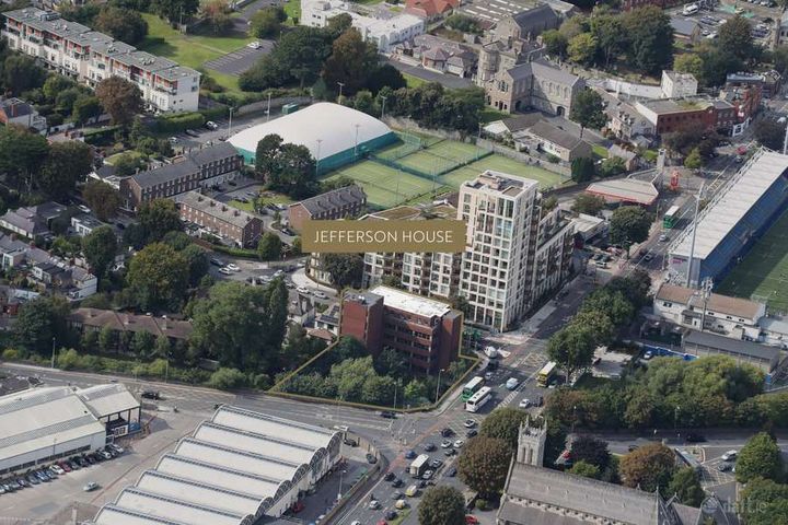
3.09 acDevelopment LandJefferson House, Donnybrook, Dublin 4
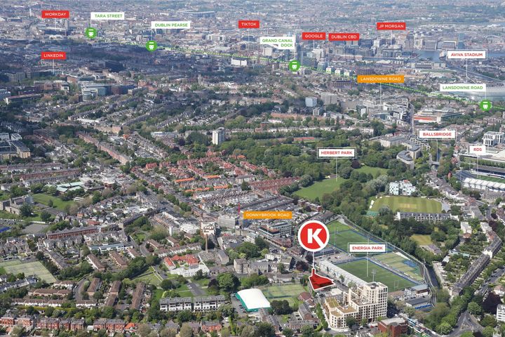
0.29 acDevelopment LandCircle K, Donnybrook Road, Donnybrook, Co. Dublin, D04K3T8
0.32 acDevelopment Land
Didn't find what you were looking for?
Expand your search: