Stillorgan, Dublin
8 Commercial Properties for Sale in Stillorgan, Dublin
O'Mahony Auctioneers
O'Mahony Auctioneers
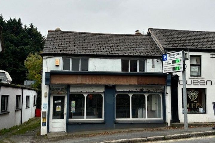
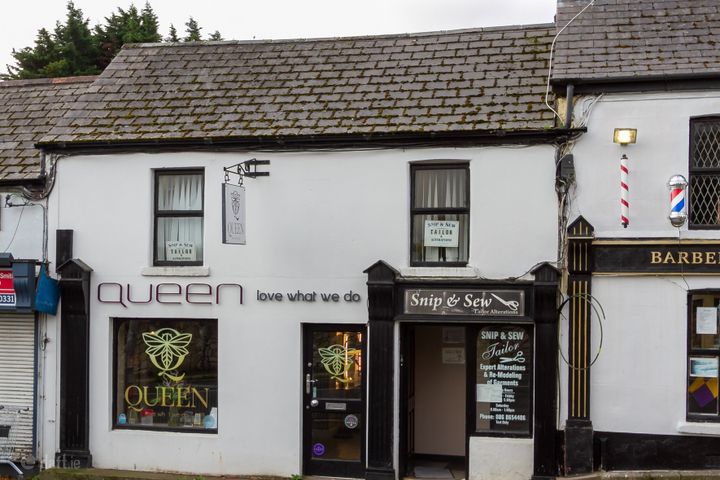
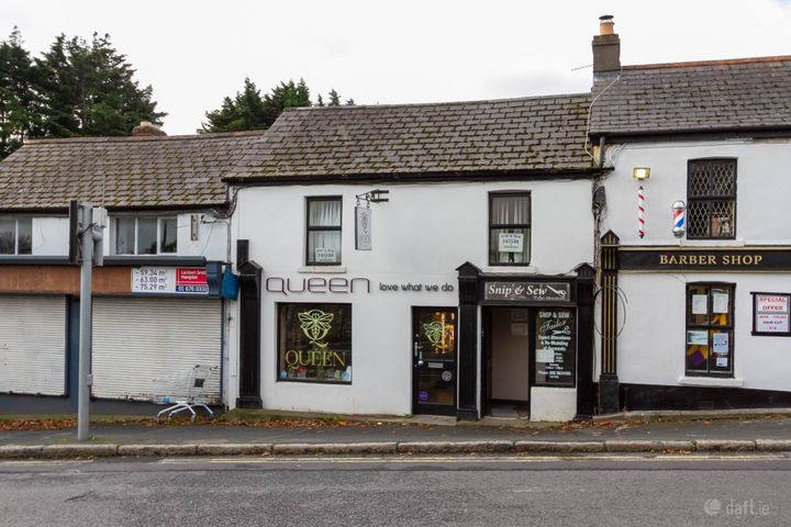
12 The Hill, Stillorgan, Co. Dublin
122 m²Retail UnitVista House, Sandyford Business Centre, Sandyford, Dublin 18
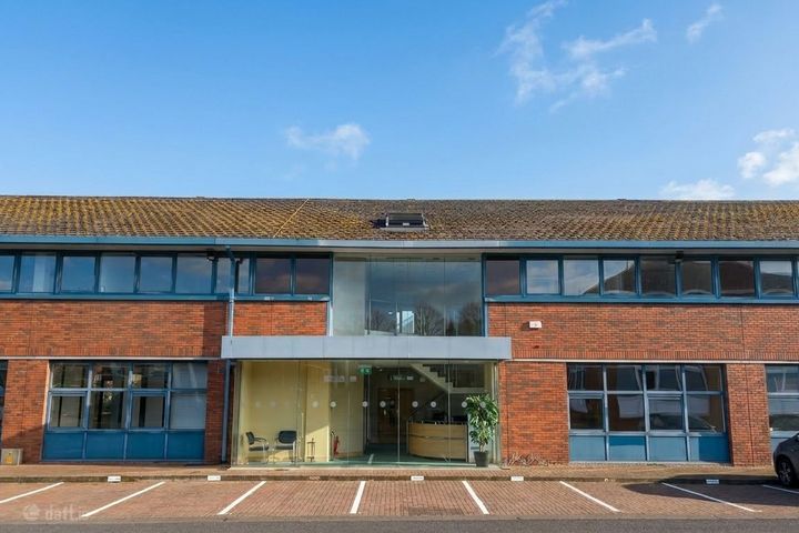
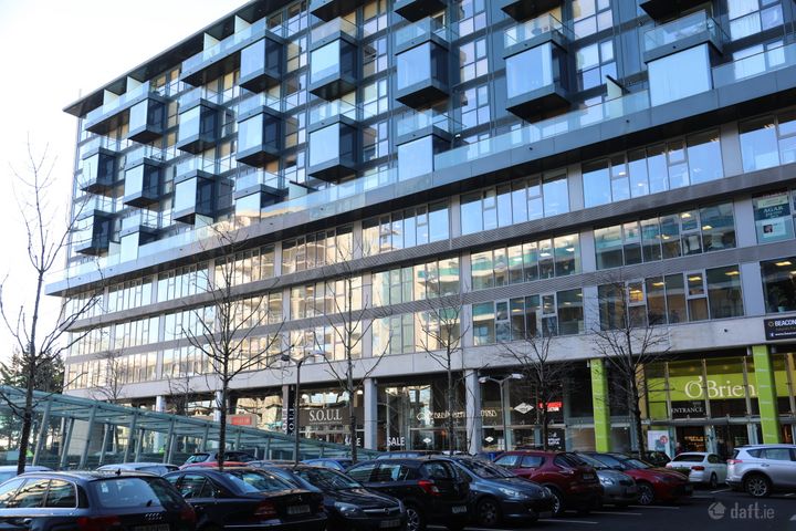
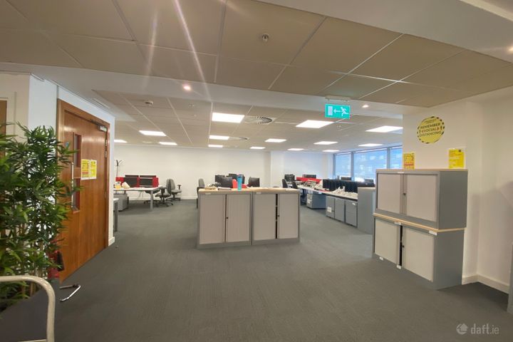
751 m²Office SpaceSuite 22, Beacon South Quarter, Sandyford, Dublin 18
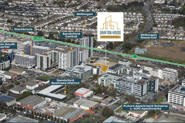
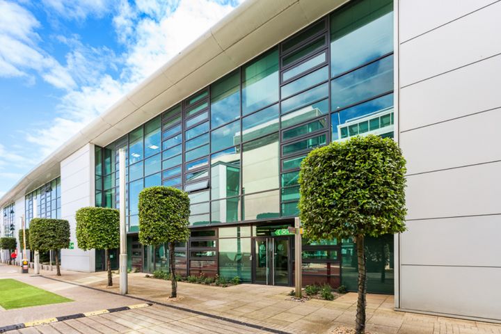
104 m²Investment PropertyGrafton House, Ballymoss Road, Sandyford, Dublin 18, D18P274
0.55 acDevelopment LandSuite One, Cubes Offices, Beacon South Quarter, Sandyford, Dublin 18
227 m²Office Space11 The Hill, Stillorgan, Co. Dublin, A94R2X0
146 m²Retail Unit11 The Hill, Stillorgan, A94R2X0
146 m²Commercial SiteSuite 4, 5 and 6 The Avenue, Beacon Court, Sandyford, Dublin 18, D18DE43
283 m²Investment Property

Didn't find what you were looking for?
Expand your search: